Tuesday, November 3, 2015

Hiking Kane Gulch on Cedar Mesa, UT.

2015 Fall Travels of the Mercury, Oct 8th to 9th.

As we head across southern Colorado we take US 160 to Cortez. South of Cortez we take County Road G which runs through a beautiful valley of farm lands, sandstone bluffs and past the Canyons of the Ancients National Monument. We haven’t explored much of this area but plan to in the future.

At Bluff, Utah we take US 191 to Blanding where we turn west on Hwy 95, the Trail of the Ancients, which will take us to Cedar Mesa. We intend to camp at Natural Bridges National Monument but the campground was full so we camp on the mesa.

Cedar Mesa is BLM land and camping or day use permits are $2 a day per person, a real bargain. Fees can be paid at the Kane Gulch Ranger Station which also has maps, displays and a great selection of books. They can advise you on where you can camp, what to see and trails to hike depending on your experience and interests.


Camping on Cedar Mesa isn't for big rigs. Camping areas can be small and are located down dirt roads. Often high clearance vehicle are necessary.


Sunset at our camp on Cedar Mesa.
We’ve visited Cedar Mesa every fall for the past 6 years. Its canyons have always beckoned us to explore, search for cliff dwellings and scramble our way through the sandstone weathered by time and the elements that carve the mesa's edge. The ruins are made of the same sandstone. To peer into them and find hand prints and figures painted on cliff walls is to come as close as we can to a civilization that once spread across the southwest a thousand years ago.

We only have one day to spend here so we hike into Kane Gulch, which we hiked the very first time we were here. The trail begins at the Kane Gulch Ranger Station and descends gradually 600 ft. between ever deepening canyon walls for 4 miles.

The Kane Gulch Trail begins as a wide wash and gradually descends into the gulch through a tangle of willows.


Kane Gulch wash.
A 10,000 year old clone of aspen.
The trail passes a clone of aspen that still thrive after being deposited here by the last ice age 10,000 years ago.


The willows give way to slick rock as the gulch deepens.
As the gulch deepens the jungle of willow give way to the slick rock.

Slick rock hiking at its best.
The slick rock makes hiking fun and easy, and gives to the water's artistic expression as it sculpts the stone. 


A water fall in Kane Gulch.
As the gulch deepens the sandstone becomes more ledgey and pouroffs become waterfalls. We descend from ledge to ledge just like the water does as we follow it down.

The gulch begins to enclose us.
We descend from ledge to ledge as we follow the water.
Water sings in a boulder grotto. 
The water sings in boulder grottoes. It's brown from silt it carries after a recent flash flood and the ambient light casts a warm glow.

Looking up at the rim of the gulch.
Junction House Ruin has structures beneath the over hang and at the base of the cliff.
At the confluence of Kane Gulch and Grand Gulch is Junction Ruin. The first structures that can be seen are on a high ledge that was accessed by ladders. The remnants of a ladder still cling to the upper ledge. 


Remnants of  a ladder can be seen high above on the steep incline to the left of the structure on the upper ledge.
One of the structures on the upper ledge.
Another structure on the upper ledge.
At the base of the cliff are the crumbling walls of dwellings. Many people once lived here and may have grown crops on the wide terrace at the confluence.  


Fallen walls show that there were once many rooms here.
Walls blend with the cliffs and can go unnoticed until we get close to them.
A complete room constructed beneath an overhang may have been a grainery.
One of the  kivas.
Another view of the kiva.
The kiva smoke hole.
We walk through the ruins being careful not to step on remnants of walls or the fallen rocks of walls. These ruins are on BLM managed lands and are accessible to the public. It's a privilege to visit them and there are rules to be observed. Don't walk on, touch or lean on walls. Walk carefully and don't disturb anything. Leave everything as you find it. These ruins were heavily looted when they were first discovered so little remains but the structures. No restoration or stabilization is being done so time and weather are taking their course. It's our responsibility not to create further degradation of these special places.
Hand prints on the cliff walls in the ruin.
More hand prints.
We found two groupings of hand prints on the cliff walls in the ruin, one group is white and another red. Placing a hand print is such a human thing to do. It says "This is I". It's the signature of a particular individual. They are a personal connection we have to the people of the past. Some are associated with special ceremonial or sacred sites. These are next to rooms in a community. I was thinking of them as being the prints of the people who built and lived in the dwellings. Like a street address, they're saying, "This is our house".

The second kiva and the tallest wall still standing.
The tallest standing wall was 2 stories so this was a sizable community. The voices of the past are still and it's just us standing here in the solitude, silence and warm canyon walls. 

Here are some photos I took with filters.


Junction Ruin I.
Junction Ruin II.
Around the bend about 1/10 of a mile down stream from Junction Ruin is Turkey Pen Ruin. We visited it before and don't go there this time because we need to start our hike out. Clouds are building and there's been a lot of recent rains. These gulches can flood quickly.


The view looking down Grand Gulch from Junction Ruin.
We backtrack our way up Kane Gulch. The gulch can look quite different on the return trip. We notice different things on the hike out.

Hiking back up Kane Gulch.
For instance, I find this giant molar.

One big tooth.
A quiet flow of water protected by an over hanging rock catches my eye. You can see how high the water got when Kane Gulch flashed only a few days previous to our hike.

After the Flood I.
After the Flood II.
We pass the clone of aspen again and they look different in the overcast afternoon light.

A clone of aspen.
The trail goes beneath a sheltering overhang.

One of the many interesting features of the trail.
The place where the trail goes through a crack behind a house size boulder was more interesting on the return hike.

The trail goes through a crack.
The stairway in the crack.
The wall on the left of the above photo had and interesting color and texture. Here are 3 filtered photos of the wall.

The Wall  Behind the Boulder I.
The Wall Behind the Boulder II.
The Wall Behind the Boulder III.
We made it back to Kane Gulch Ranger Station as the rain began. This is a wonderful hike and one of the most accessible on Cedar Mesa since it begins at the Ranger Station. We hope you get the opportunity to hike it as well as some of the other hikes to the very special places on Cedar Mesa.

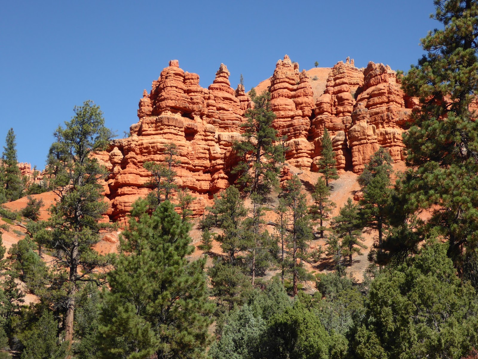
We hope you enjoyed this tour of Kane Gulch. Next post we'll be telling you about our hike to Capitol Reef and Lower Calf Creek Falls as well as a great bike ride on the Red Canyon Bike Path near Bryce Canyon.

Until then.
Jackie
Grand Gulch at Junction Ruin.

Hiking in Capitol Reef and Lower Calf Creek Falls, and Road Bicycling Red Canyon to Bryce Canyon.


Our boon dock site on BLM land west of Hanksville, UT.
Intriguing badland vistas near Hanksville, UT.
2015 Fall Travels of the Mercury, Oct. 10th to 13th.

Our next destination is Capitol Reef. We continue on Hwy 95 to Hanksville and take Hwy 24 to Capitol Reef. This is a scenic drive through sandstone canyons and crumpled, eroded badlands. For the next few nights we’ll boon dock in the solitude of BLM and National Forest lands. The nights are so dark that the Milky Way stretches across the sky from horizon to horizon. Before dawn Venus, Jupiter, Mars and Uranus hang in the sky above the crescent moon. Places like these are what our Sprinter was made for.


Driving to Capitol Reef on Hwy 24.
At the trail head to Grand Wash in Capitol Reef.
At Capitol Reef we take a short 4 mile hike through the narrows of Grand Wash. This is a very easy, level hike that everyone can do and experience the beauty of the canyon country.
Jackie in Grand Wash narrows in Capitol Reef.
Grand Wash narrows.
Jim hiking up Grand Wash.
Grand Wash narrows.
Grand Wash narrows.
The canyon begins to widen.
The canyon opens up and it's a good turnaround point to hike back through the narrows to the trailhead.
The continuously changing landscapes of Capitol Reef.
From Capitol Reef we take Hwy 12, the Journey Through Time Byway, from Torrey over Boulder Mountain to Escalante. The aspens are turning and the views looking down onto Capitol Reef and the Escalante Grand Stair Case National Parks are outstanding.

A panorama looking east across Capitol Reef from Boulder Mt.
The trial up Calf Creek to Lower Calf Creek Falls
We stop along the way to take a 6-mile hike to Lower Calf Creek Falls, a 128 ft. waterfall in a beautiful canyon where the riparian cottonwoods and willows offer excellent birding along the way. A numbered trail guide tells about the canyon, habitat, wildlife and large Fremont pictographs that can be seen on the canyon walls. If it’s a hot day you’ll find refreshment standing in the chilling spray of the water fall. You can plunge into the chill water if you dare. Be sure and follow the guidelines at the trailhead for how much water to take with you on the hike.  There is also a BLM campground at the trail head. The sites are small and won’t accommodate big rigs. During the busy season you’d be lucky to find a site open.


Calf Creek at the beginning of the hike.
Colorful formations along the trail.
Banded formations tower above the trail.
Three larger-than-life Fremont pictographs decorate the canyon wall in Calf Creek.
High canyon walls converge at we near the falls.
128 ft. Lower Calf Creek Falls and pool.
Looking up at the falls.
The pounding water sculpts the rocks.
Refreshing spray cools the air even on the hottest day.
Lower Calf Creek Falls in black & white.
After our hike we travel on to spend the night at the Bryce Valley KOA.  This is a nice campground surrounded by colorful sandstone cliffs. A great place to camp when you need a full-service campground and want to spend time visiting Bryce Canyon and Kodachrome Basin.

Hwy 12 curves around the upper reaches of the Escalante-Grand Staircase National Park.
The next day we continue on Hwy 12 to the trail head for the Red Canyon Bike Path near Bryce Canyon. We won’t visit Bryce because we’ve been there but we’ll stop and take a ride on this wonderful bike path. It’s a 12.5-mile paved path from Red Canyon to Bryce Canyon giving us a 25-mile round trip ride. We do a lot of road riding but we always enjoy riding on a quality bike path and always take the time to ride when we find one. This one is exceptional with good paving and wonderful scenery.


Red Canyon on Hwy 12 east of Bryce Canyon.
The Red Mountain Bike Path is nicely pave and scenic.
Jim climbs the bike path. The return tip will be a breeze.
Bike path and highway share the scenery.
Picturesque formations along the bike path.
After our ride we head north on US 89 through Panguitch and turn east on Highway 62 at Junction. We’re wandering our way across Utah on scenic little mountain highways. Small farming communities nest in the valleys amid fields and pastures. It’s so much better than traveling the interstate and we’re seeing some beautiful country.

At Koosharem we turn onto Hwy 24 then take Hwy 25, the Fishlake Scenic Byway. Our destination for the night is a BLM campground at Fish Lake. The campground is primitive but there are flush toilets and water at faucets. The sites are among the aspens and overlook the lake.

The next day we have to backtrack to Hwy 24 due to road work. Hwy 24 will take us to Loa where we head north on Hwy 72 to I-70. A short drive east on I-70 takes us to US 191 heading for Moab.

In our next post we’ll tell you about our canyoneering adventures and a great hike in the Needles District of Canyonlands.

Until then,
Jackie


Jim & Jackie at Lower Calf Creek Falls.