Our destination is Banff and it’s a full day drive. We head
north on the Cowboy Trail to Longview. The Cowboy Trail is a beautiful scenic
drive through the grassland foothills of the Rockies. Well-kept ranch houses
are tucked into valleys and an occasional herd of cattle roam in green
pastures.
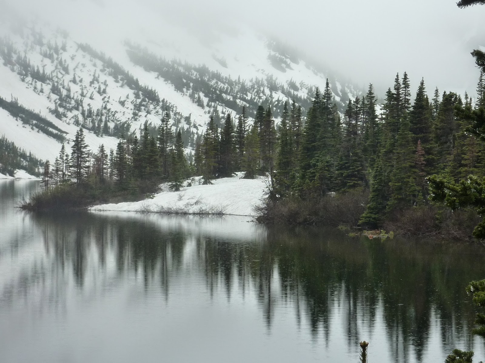
At Longview we take
Hwy 40, which had just opened on June 15th. It’s closed from December
1st to June 15 to protect the Elk during the calving season. It
rains all the way and the mountains are veiled.
 |
| Beautiful downtown Banff. |
Banff is the Vail of Canada. Nice, clean, attractive architecture,
nice streets and shops. A tourist magnet.
 |
| Big Horn along the Bow Valley Parkway. |
 |
| Our camp at Castle Mountain Campground. |
We camped north of town at the
Castle Mountain Campground along the Bow Valley Parkway. A nice small camp with
flush toilets and water, everything we needed.
 |
| Jim and the catwalk at Johnston Canyon. |
A mile down the road
is the Johnston Canyon Trail. The parking lot at the trailhead is paved with
parking for tour buses and RVs so we figured it was a popular place. We get
there early before the crowds.
 |
| The catwalk at Johnston Canyon |
 |
| Lower Johnston Canyon Falls. |
 |
| Upper Johnston Canyon Falls. |
The literature we picked up at a visitor center didn’t
mention what the attraction was but we soon found out and were duly rewarded
with a beautiful walk on a catwalk up a narrow canyon along a frothy thunderous
river, called a creek in these parts. The falls are spectacular as we’ve come
to expect in this country and the narrows are a fantasy landscape.
 |
| The Inkpots in Johnston Canyon. |
 |
| The Inkpots. Notice the crater created in the sandy bottom by the spring. |
We hiked a couple miles past the Upper Johnston Falls to the
Inkpots, a cold spring that bubbles up in 5 clear pools to form shallow
circular craters in the sandy bottoms. You can watch them as they form. It is
something unexpected and a worthy hiking destination.
 |
| Upper Johnston Creek foot bridge. |
The Inkpots are in a wide valley where the river spreads out
before plunging into the narrows of Johnston Canyon. If you hike a tenth of a
mile further there’s a wooden foot bridge across the river and an excellent
place to get more great pictures.
 |
| We pose for a picture with the inushuk. |
Along the river we find cairns called
inukshuk. This is an Inuit word meaning “in the likeness of a human”. This human
shaped cairn was important for survival and meant that someone was here or you
are on the right path.
 |
| The Ice Fields Parkway. |
 |
| Glacial rivers. |
 |
| Glacial lakes. |
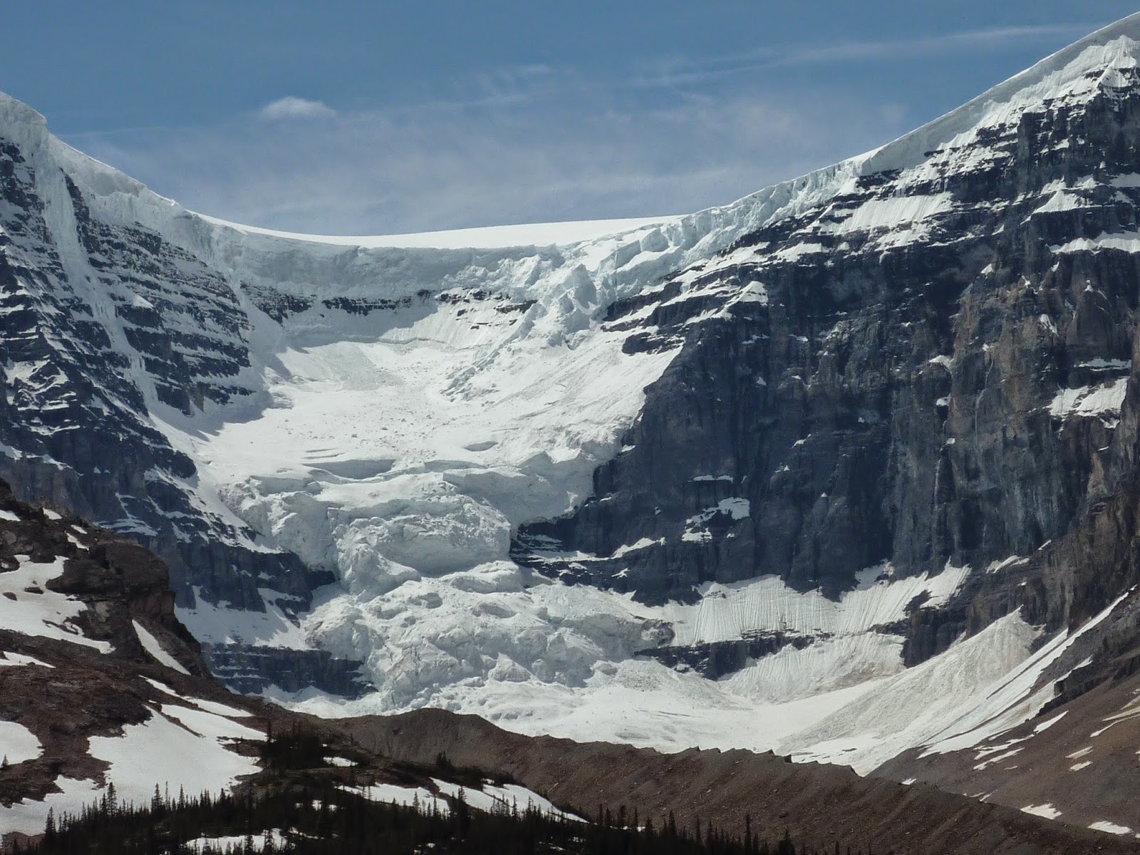
We journey on along the Ice Fields Parkway heading for
Jasper. Sharp, severe peaks form an impressive corridor of stone on both sides
and a glacial river flows along beside us, its waters so incredibly blue.
 |
| Our camp at Mosquito Creek. |
 |
| A little inukshuk at Mosquito Creek. |
We stayed the night at Mosquito Campground, unfortunately named, along the Mosquito River. No mosquitos but a nice little campground along the river. We found this inukshuk by the river.
 |
| The view from our camp at Mosquito Creek. |
 |
| The North Fork of the Saskatchewan River. |
 |
| More beautiful lake for moments of peace and contemplation. |
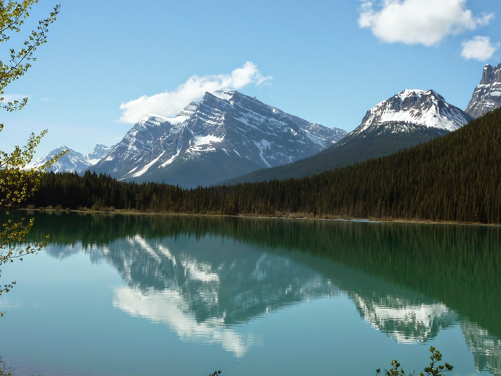
We
cross the beautiful North Fork of the Saskatchewan River which spreads its
turquoise waters out across a broad river valley.
 |
| Bicycling on the Ice Fields Parkway. |
 |
| Incredible views from a bike. |
We take a couple hours to bike along the Parkway. We didn’t allow enough time for all the hikes and bike rides there are to do here. It would be worthwhile making another trip here.
Our next destination is Jasper. Until then.
Jackie