Our group often takes several hikes into Box Canyon in the fall to catch the color change in the cottonwoods along the Gila River. Box Canyon slices into the desert flats with a jagged, deepening cut that intersects with the Lower
Gila River Box. The hour and a half drive from Silver City and the final stretch of dirt road to the head of the canyon are worth it to take this outstanding 6-mile roundtrip hike.
 |
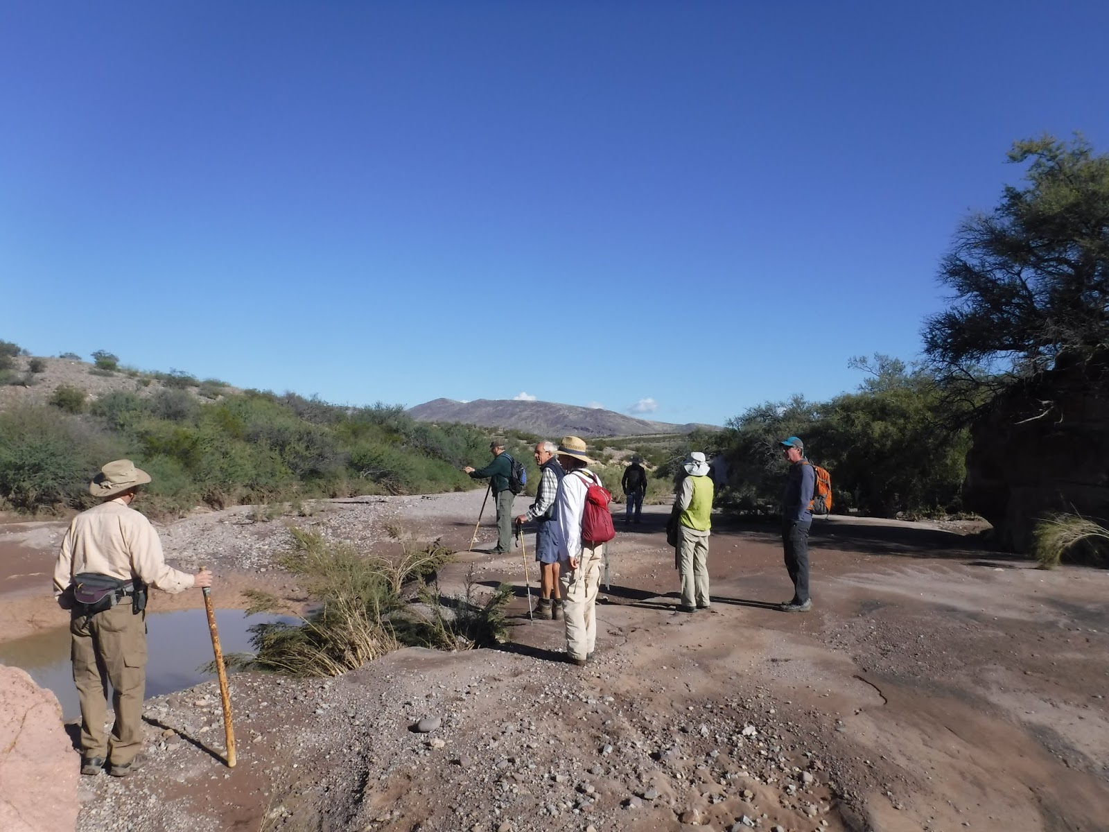
Our hiking group meanders down Box Canyon pondering the
impacts of the water that flashed through here during the recent rain. |
At its origin Box Canyon is a wide, sandy wash that channels across the desert.
 |
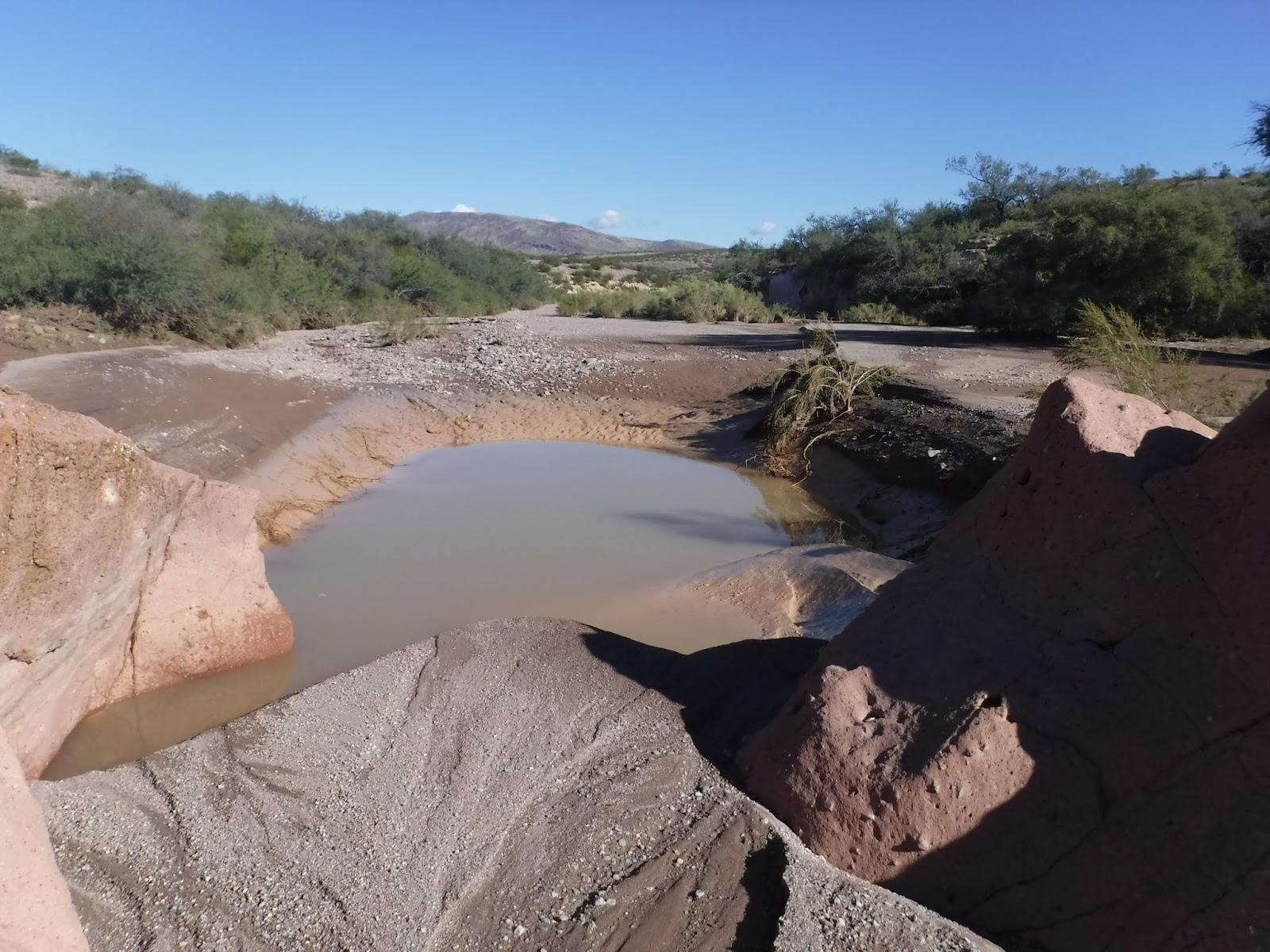
| Water from recent rain pools in the wash. |
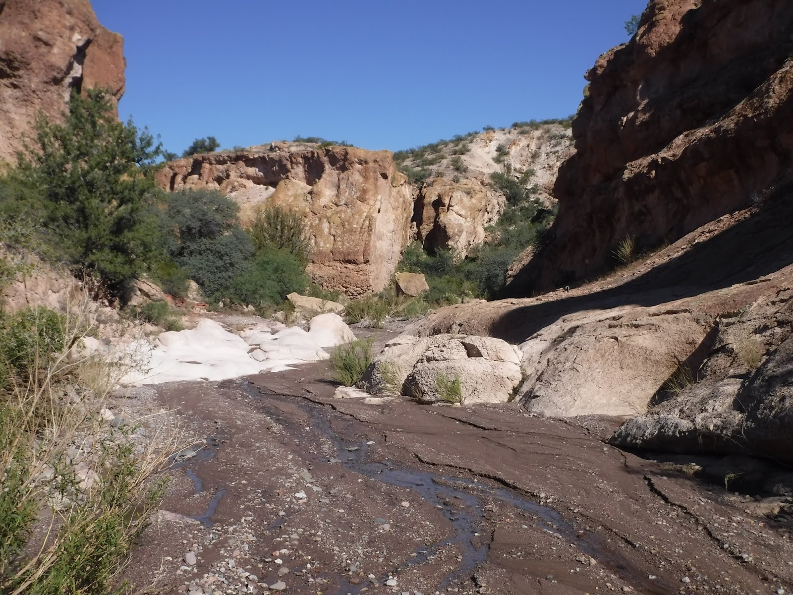
The hike down the canyon is gradual and easy.
 |
| A handsome Greater Earless Lizard sleeps in the sand waiting to warm up in the sun. |
We find a colorful 8-inch Greater Earless Lizard in the sand. He doesn't twitch a muscle as we gather around to take pictures. He's needs to warm up from a chill night before he can get going.
 |
| I see a vague resemblance to the Abby Road album cover |
The canyon deepens and cuts through volcanic tuff creating interesting options for working our way down canyon.
 |
| A ancient grinding hole on a ledge along the wash. |
 |
| Some of our intrepid group members at the beginning of the narrows. |
A couple miles into the hike water carved narrows funnel us down into the deep walled canyon.
 |
| Jim at the drop into the narrows. |
 |
| The group funnels into the cut. |
The color and texture of the rock at the narrows looks like concrete.
 |
| Water pools in the narrows after rains. |
Water pools in the narrows after rains. We've been here when the narrows were completely filled and we had to scramble around.
 |
| Hiking through the narrows. |
 |
| Looking back up the narrows. |
 |
| A layer of cobbles sandwiched between layers of tuff. |
 |
| Geologic stories. |
 |
| We come out at the lower end of the narrows. |
 |
| These are believed to be Apache petroglyphs. |
 |
| Apache dancers. |
 |
| The wash below the narrows often flows during the rainy season. |
 |
| The canyon gets deeper and cottonwoods grow in the bottom as we get closer to the river.. |
 |
| The group often gets spread out and regroups as we slinky our way down canyon. |
 |
| The canyon at its deepest. |
The canyon is at its deepest as we approach the Gila River.
 |
| An ash leans out over the water just downstream of the confluence of Box Canyon and the Gila River. |
We have lunch at the river and enjoy some explorations along it's bank. We can't go far before we have to ford the river which is running high from recent rain. We decide to call it a day.
 |
| Trees form graceful lines along water stained walls. |
In the fall afternoon the sun drops below the canyon walls and casts the Gila River in a cool, purple light. There's a gentle lapping as the river rolls peacefully along and an occasional bird call bounces from the walls.
 |
| I find a large prize Oyster Mushroom in its prime on a dead snag but it's too high on the trunk to reach. Sigh! |
 |
| White-throated Swifts. |
On our way back up Box Canyon we're treated to a flock of migrating White-throated Swifts. Hundreds of them dart in a continuous chittering aerial display at the canyon rim above our heads. I managed to get a picture of a few of them restlessly coming and going from a crack under the overhanging rock wall. They were a real delight. The size of the flock was unusual.
 |
| Cottonwoods in Box Canyon |
It's late October and the cottonwoods are just beginning to change.
 |
| A cottonwood admirer. |
 |
Looking up river from above the rim of the Lower Gila Box.
|
When we get back to the vehicles we drive a short distance on a jeep trail along the Box Canyon rim to the rim of the Lower Gila River Box. Seen from above the Gila River is a green flow of trees across a dry, craggy land. That's why this river is so valuable and an amazing habitat and major bird migration route. Fall is just beginning to touch the cottonwoods. We'll have to come back at the end of November to see the fall colors. By then the winter raptors will be here.
 |
| A river of green in a dry, craggy land. |
The tops of the 60 ft. cottonwoods come right to the top of the canyon. They fill the canyon from rim to rim.
 |
| Me sitting on the edge of the canyon. |
 |
| Yuccas add their spiny texture to the landscape. |
 |
| Looking into the confluence of Box Canyon and Lower Gila Box. |
We parked at the end of the road and walked along the rim to look down into the confluence of the Box and the Lower Gila Box where we had lunch by the river a few hours ago.
 |
| Looking back toward the Gila River. What river? |
Away from the rim you'd never know there was a gorge and a river between you and the mountain on the horizon.
 |
| Small ruin. |
We find a small ruin
just below the rim of Box Canyon. It's impossible to get to and has an unknown purpose.
 |
| Lookin up Box Canyon from the rim. |
We can look up the length of Box Canyon to the desert flats. We hiked the length of the canyon this morning. A day well spent.
Keep Hiking
Jackie